Parcels & CAP
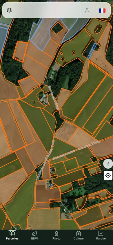
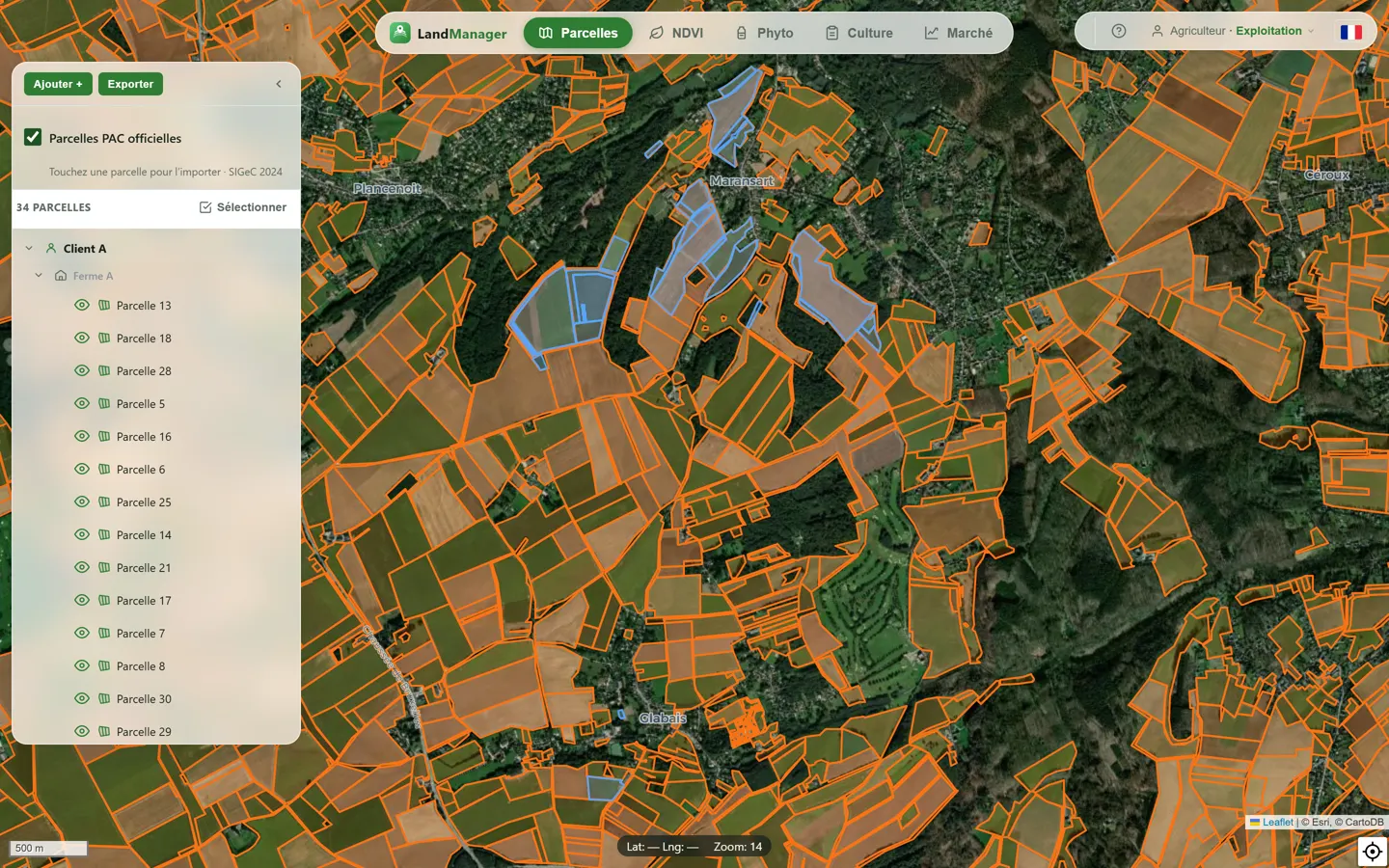
Import your parcels from the CAP register, a shapefile or Operations Center. Split, merge and follow each campaign.
Belgium · France · Luxembourg · Germany
Land Manager brings together your parcels, satellite imagery, crop records and phyto register — connected to John Deere Operations Center and the public data of each country.
Real screens of the app — only the names have been changed.
Import your parcels from the CAP register, a shapefile or Operations Center. Split, merge and follow each campaign.
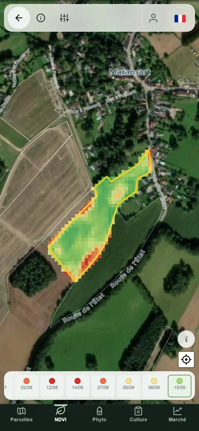
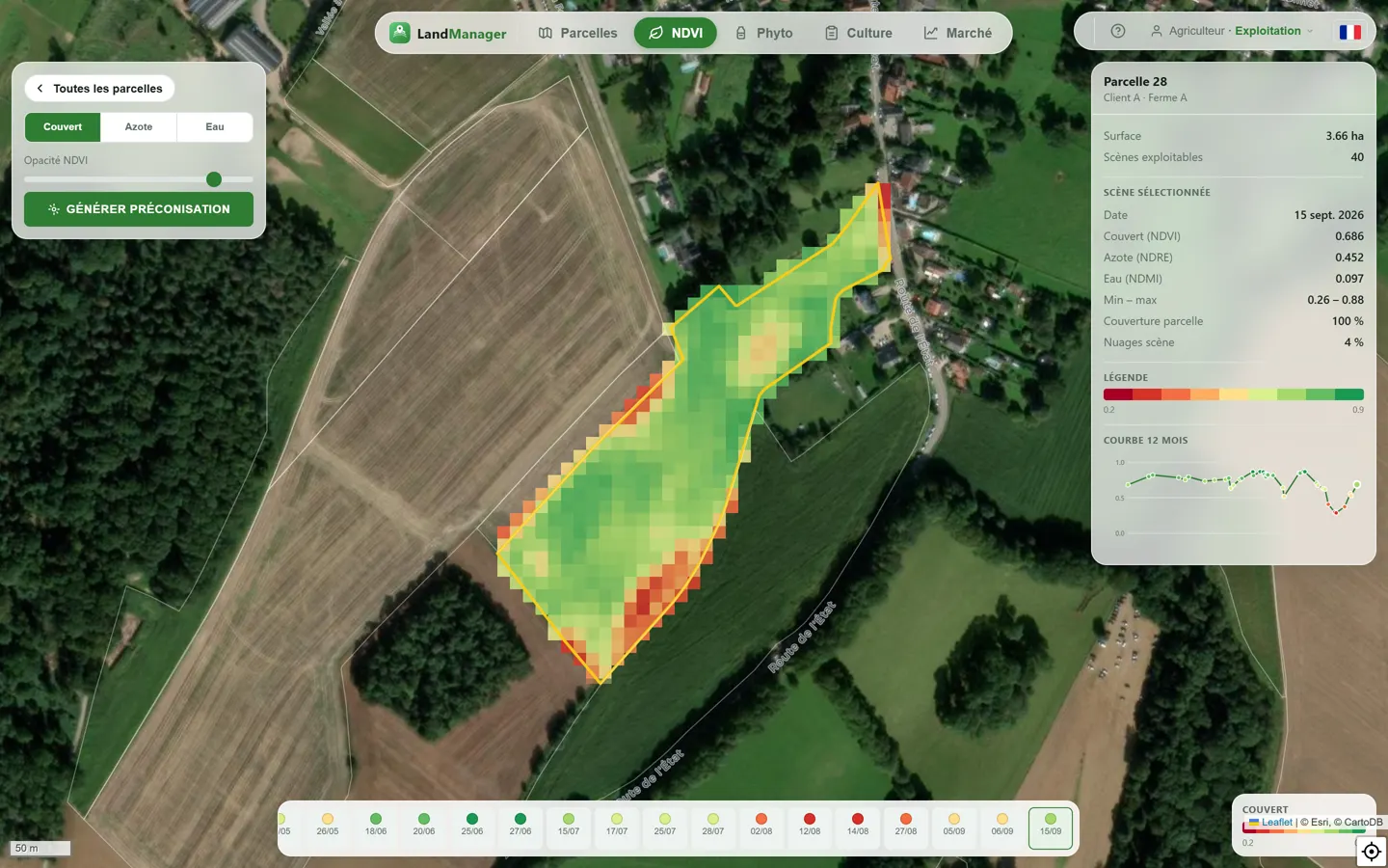
A fresh vegetation index every 5 days, clouds masked, with a 12-month curve and every usable scene on a timeline.
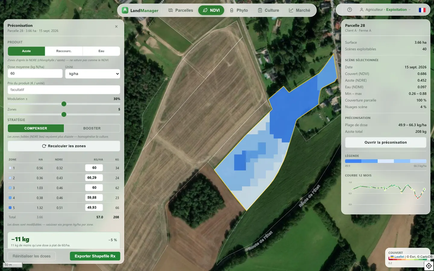
Nitrogen, growth-regulator or water zones computed from the imagery. Choose the average dose, the modulation and the number of zones, adjust each zone by hand and see the saving — then export a shapefile or ISOXML for the terminal.
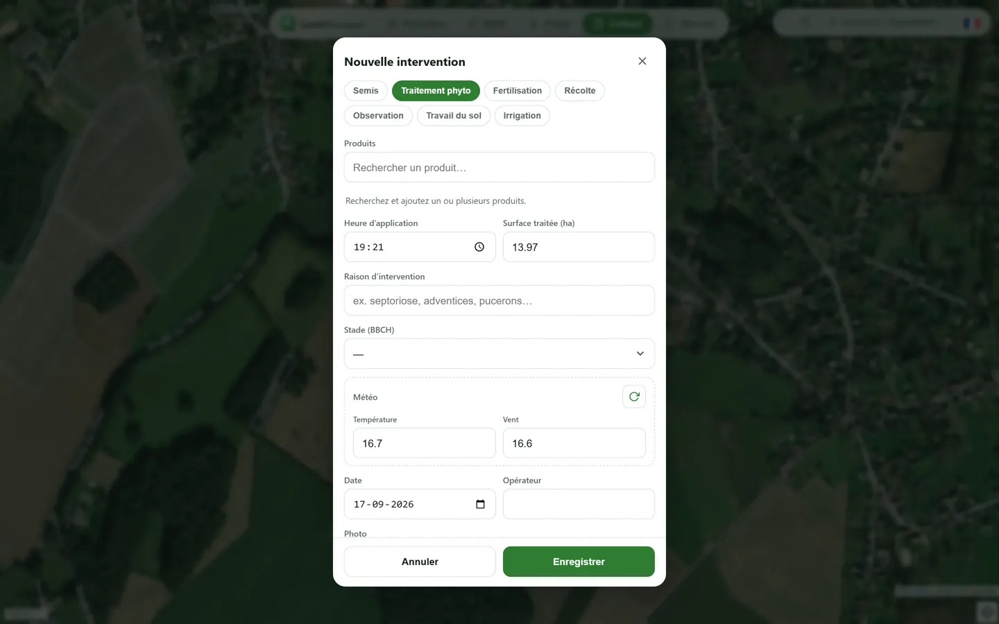
Sowing, fertilisation and treatments per parcel, with photos taken in the field and nitrogen units computed for you. Every crop record exports to PDF.
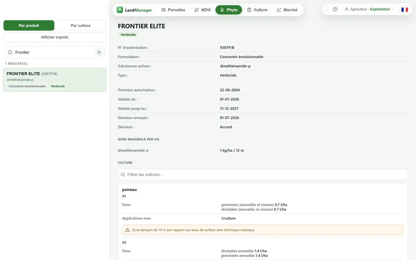
Authorised products, doses and BBCH stages checked on entry. Machine-readable export as required by Regulation (EU) 2023/564.
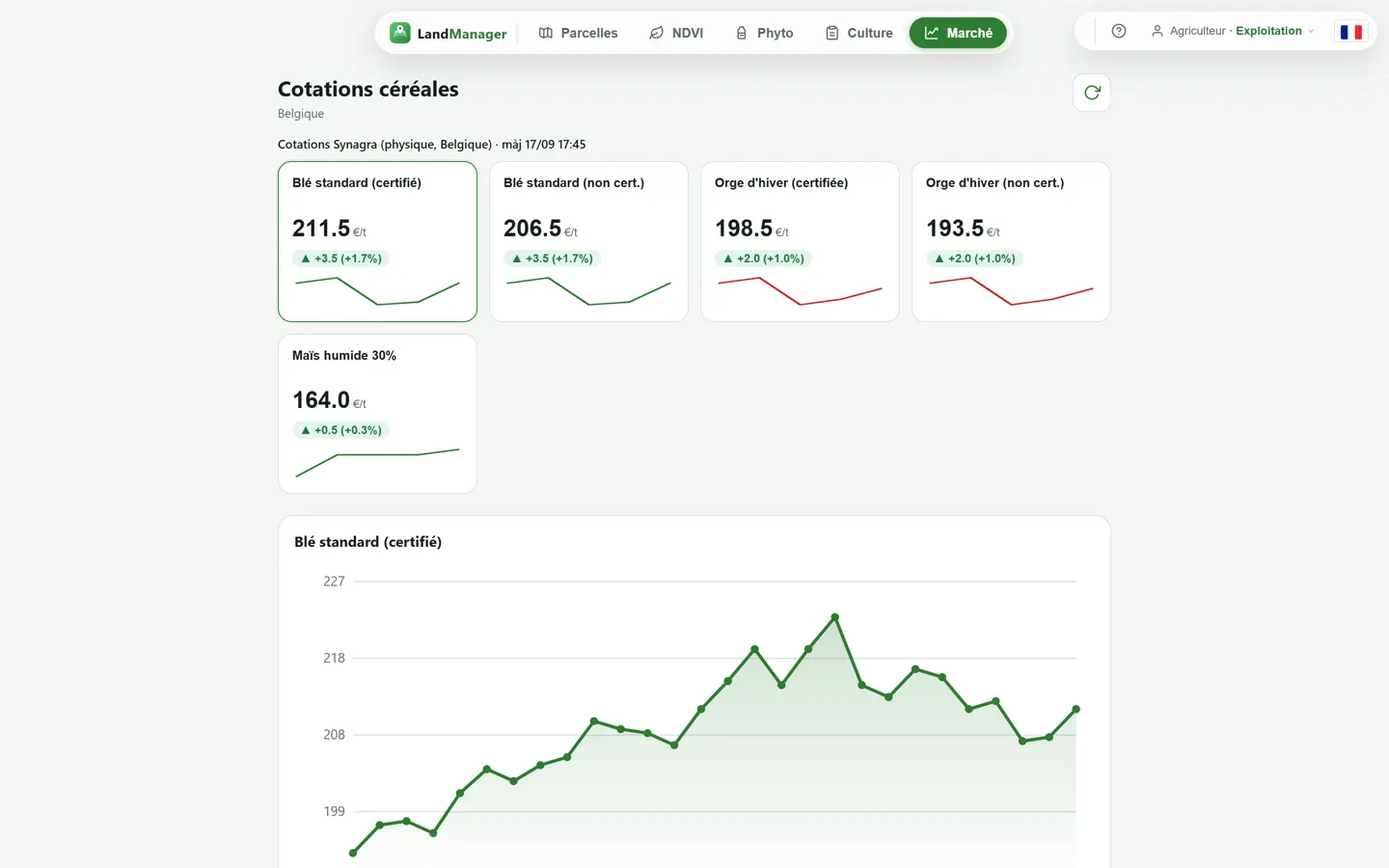
Grain prices of your market: Synagra for Belgium and Luxembourg, Euronext MATIF for France and Germany.
Land Manager installs like an app — no store, no download.
Open landmanager.be once and add it to the home screen: the app then starts full-screen, like any other.
iPhone — Safari › Share › Add to Home Screen
Android — Chrome › menu ⋮ › Install app
A notification as soon as a new satellite image of your parcels is available.
Take a photo in the field and attach it to the intervention you are recording.
Choose your country. An administrator validates the account.
Link Operations Center, tap your parcels on the CAP map or import a shapefile.
Follow the NDVI, record your work and send prescriptions to the tractor.
Land Manager talks to your machines and reads the official sources of each country directly — no retyping.
Parcels, operations and products synced; prescriptions sent to the terminal.
Sentinel-2 imagery, cloud-masked, per parcel.
Official declared parcels, updated every campaign.
National registers of authorised products and uses.
Daily grain quotes.
Forecasts and history at the field.
Each account declares its country: registers, products and markets follow.
Create your account in a minute. Already registered? Sign in.